North Allston-Brighton Neighborhood
North Allston - Blue Cities GUIDE
Charles River Watershed Association | 2005-2008
In 2005, the Charles River Watershed Association embarked on an ambitious three-year project to explore in detail opportunities for redesigning densely developed urban areas with a focus on water. We chose the three different sites in the Boston Metropolitan Area. The criteria for the site selection was that they were to be large enough, in size and scope, to demonstrate environmental improvements on a neighborhood scale, but small enough to make it possible to track solutions in detail at building- and site-scale. In all cases, we analyze problems; integrate the regulatory and planning contexts; address the concerns of residents and stakeholders; and identify, develop, and evaluate design opportunities.
Our case sites differed in development agendas, planning timeframes, and regulatory frameworks. But all three reflected classic problems of impaired hydrology. Our proposed solutions, therefore, had broad applicability.
Harvard University’s 50-year project to develop a new campus on more than 200 acres in North Allston, a neighborhood of Boston that borders the Charles River, presents an opportunity to transform the area from a deteriorating, environmentally degraded condition into a model of environmentally sensitive, “water friendly” development.
This major urban redevelopment project presents tremendous opportunities to improve the physical environment, reversing degradation and pollution, and changing current development practices through an environmentally sensitive approach to planning. When urban redevelopment incorporates environmental restoration, the proven economic and aesthetic benefits generate widespread public support. CRWA’s goal is to ensure that major infrastructure improvements to the water and sewer systems, transportation systems, open space and pedestrian amenities, and the urban ecosystem are incorporated into large-scale urban redevelopment projects like Harvard’s new campus in North Allston.
North Allston Subwatershed Restoration Plan
Charles River Watershed Association | 2015-ongoing
Beginning in 2015, CRWA partnered with the Boston Redevelopment Authority (BRA) to develop a restoration plan for a sub-watershed in the North Allston neighborhood in an effort to integrate thisplan with ongoing public realm improvement efforts and development projects in the area.
The project team is evaluating various Green Infrastructure design options in terms of feasibilityand benefits in order to develop a sub-watershed scale restoration plan that will enable the City of Boston to meetregulatory requirements at the least cost and with maximum environmental benefit. To date, CRWA has completed the existing conditions analysis of the study area and identified a priority sub-watershed on which to focus design efforts.
Allston-Brighton Green Street GUIDE
Charles River Watershed Association | 2007-2008
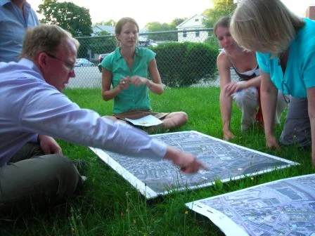
In 2007, CRWA partnered with the Allston Brighton Community Development Corporation (ABCDC) to develop a Green Streets Guide for Allston Brighton through extensive collaboration with neighborhood residents. Through conducting community workshops for three pilot streets, the design guidelines provided a menu of green street retrofits intended to improve streets for walkers and bicyclists, make public parks more accessible, and improve water quality in the Charles River by treating stormwater runoff.
This guide is the result of an ongoing collaboration between CRWA and ABCDC that seeks to explore the possibilities of implementing “green street” designs in Allston Brighton. The guide is intended to be used by the Allston Brighton Green Space Advocates (ABCDC) to advocate for green street retrofits in various development and redevelopment projects being planned in the neighborhood and to work with various departments in the City of Boston to incorporate these design considerations into any street improvement project being implemented in the neighborhood.
In the first part of the guide, the team defines green streets and describe the elements that comprise them, as well as define the design considerations that inform specific suggestions for retrofitting streets in urban Boston. In the second part of the guide, we analyze and explore applicability of green street designs to three different urban streets in the Allston/Brighton neighborhood. Many of the lessons learned from this case study will be applicable to other urban areas in New England that have similar climate, traffic regimes, and urban fabric conditions to those present in Boston neighborhoods.
Boston Complete Street GUIDELINES
Charles River Watershed Association | 2009-2013
In 2009, the Boston Transportation Department (BTD) began an internal planning effort to reexamine and update roadway standards for all streets in Boston. Their goal was to build on existing guidelines and projects and introduce new dimensions for building streets such as sustainability principles, appropriate storm water drainage, a more proactive accommodation of bicycles, integration of ‘smart’ technologies, and responsiveness to Boston’s unique urban context.
Our work with BTD on the Peabody Square project was instrumental in involving CRWA with the City’s Complete Street Initiative. In 2009, Boston Mayor Thomas Menino appointed CRWA to serve on a technical advisory committee to inform the development of these city wide guidelines. The Complete Streets Guidelines were finally released in 2013, after three years of CRWA working in close coordination with the project team on its “green” section.

North Allston - Historic Land/Water Interface

North Allston - Subwatesheds and Culverted Streams

North Allston - Pervious/Imprevious Cover

North Allston - Flood Modeling Scenarios

Allston/Brighton Brook Street Design Charrette

Allston/Brighton Everett Street Design Charrette

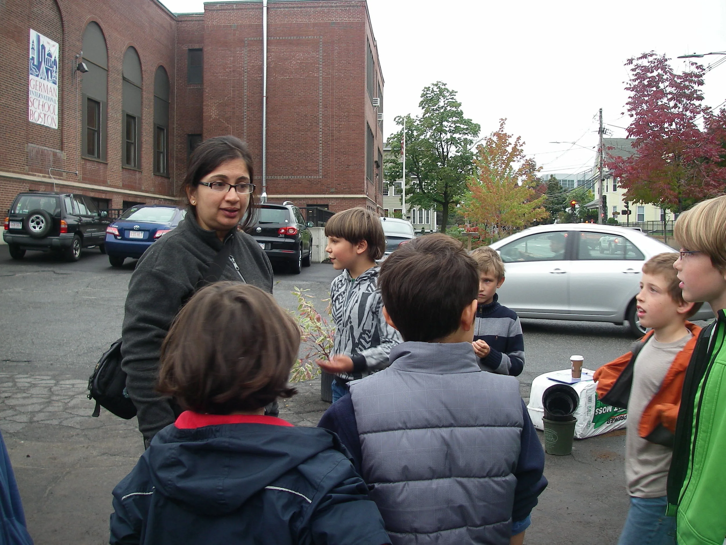
Everett Street Pilot Field Trip

Proposed Constructed Wetland next to HBS