Boston Green Infrastructure Pilots
Boston Porous Alley
Charles River Watershed Association | 2012-14
This project is located in the South End neighborhood of Boston in a primarily residential section consisting of townhouses and apartment buildings. Originally a narrow strip of land called the “Boston Neck”; the area connected Boston to Roxbury and was surrounded by tidal marsh. Prior to the 1840s, the area included only a few mansions, which were set in open fields. The city subsequently added land to the Neck by filling in the marshy areas with earth, to form the area now known as the South End.
Nearly all buildings constructed on filled land in the South End and other similarly developed neighborhoods in Boston are supported on wood pilings. These pilings will last for centuries if they remain submerged in groundwater. However, if groundwater levels drop, the tops of the piles are attacked by microbes and eventually rot, which result in severe foundation problems for supported buildings. In addition to declining groundwater levels, stormwater runoff that flows over the paved sections of the South End contributes pollution to receiving waters nearby.
The project is situated along Alley 543 between West Canton and Holyoke Streets. Alley 543 was chosen as the site for the project because of ease of project construction, existing low groundwater levels in the area, and its nearby connection to the storm drain, where both runoff volumes and water quality can be adequately monitored.
The project, engineered by VHB, involved retrofitting a section of the alley way with porous asphalt to filter the stormwater from the adjoining area and recharge groundwater. While the project involved repaving the entire alley way, only the publicly owned part of the Alley was retrofitted with porous asphalt. The retrofit allows for increased area groundwater recharge and also filters stormwater naturally into the ground, rather than funnel the polluted runoff into nearby receiving water bodies. The construction on the project was completed by late summer of 2014.
Everett Street
Charles River Watershed Association | 2008-2010
Everett Street is located within the Allston-Brighton neighborhood of Boston, which is bordered by the Charles River on three sides. Allston-Brighton was formerly an agrarian area but today consists of a middle-class, urbanized area occupied largely by a mix of dense residential neighborhoods, small businesses and large institutions. Due to the extensive paving of commercial and residential lots in the study area over time, the stormwater runoff volume and pollutant loads have dramatically increased at the Charles River outfall at Telford Street. Additionally, the lack of adequate tree canopy cover and narrow sidewalks along Everett Street has made the corridor unfriendly for pedestrians.
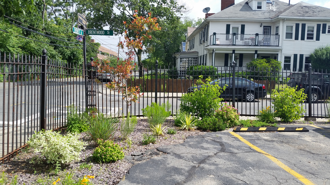
Owned by St. Anthony of Padua Church, the site is a primarily residential section of Everett Street between Holton and Brentwood Streets and consists of a school building leased by the German International School of Boston. This site was chosen primarily because it presented opportunities to transform a dreary asphalt parking lot into a thriving community space, while incorporating green infrastructure practices.
The project was implemented in two phases and involved replacing approximately 2,500 square feet of asphalt next to the school building. The first phase involved installing a rain garden, permeable pavers, and a stormwater tree pit along with seven new trees along Everett Street. In the second phase of the project, a rain garden trench was installed along the corner of Everett and Brentwood Street to treat runoff from the school parking lot, before it flows into the Charles River. The project now offers an attractive landscape that creates a new green space for the community, while providing shade, reducing summer temperatures, improving air quality, and treating polluted runoff.
Peabody Square
Charles River Watershed Association | 2008-2010
Peabody Square is located in the Ashmont section of Dorchester at the intersection of Dorchester Avenue, Ashmont Street, and Talbot Avenue. Historically, the square has served as a commercial district and provides a major public space adjacent to the Ashmont T Station. South Dorchester is bordered to the east by Dorchester Bay and to the south by the Neponset River.
The site is comprised primarily of commercial and high-density residential land uses and consists largely of paved areas including roadway, parking, sidewalk and plaza. The site area drains into the Neponset River, which is on the Massachusetts 303(d) List of Impaired Waterways for organics, pathogens and turbidity - all common pollutants in stormwater runoff.
Prior to the start of the project, the site was slated for a redesign to improve traffic and pedestrian circulation through the intersection, therefore, the project stakeholders recognized the opportunity to incorporate green infrastructure in to the redesign. The project reconfigured the street intersection design to make it more pedestrian friendly and incorporated a number of stormwater management practices; namely a pedestrian plaza with porous pavers, a rain garden and an infiltration trench for treating runoff from adjoining roadway; which will improve water quality for nearby receiving waters.

Boston Porous Alley - South End

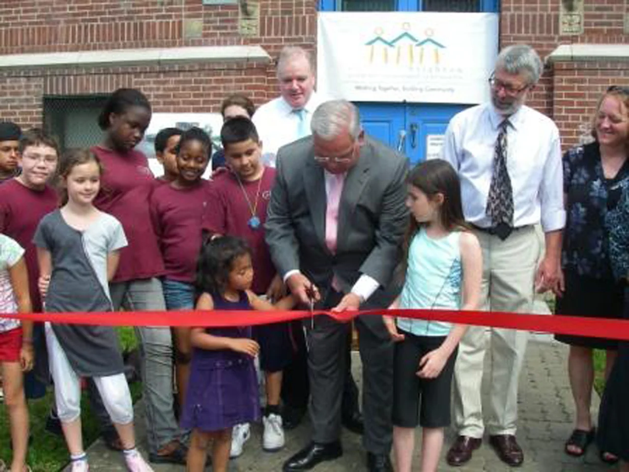
Boston Porous Alley - Ribbon Cutting

Everett Street Pilot - Allston

Everett Street Pilot - Ribbon cutting

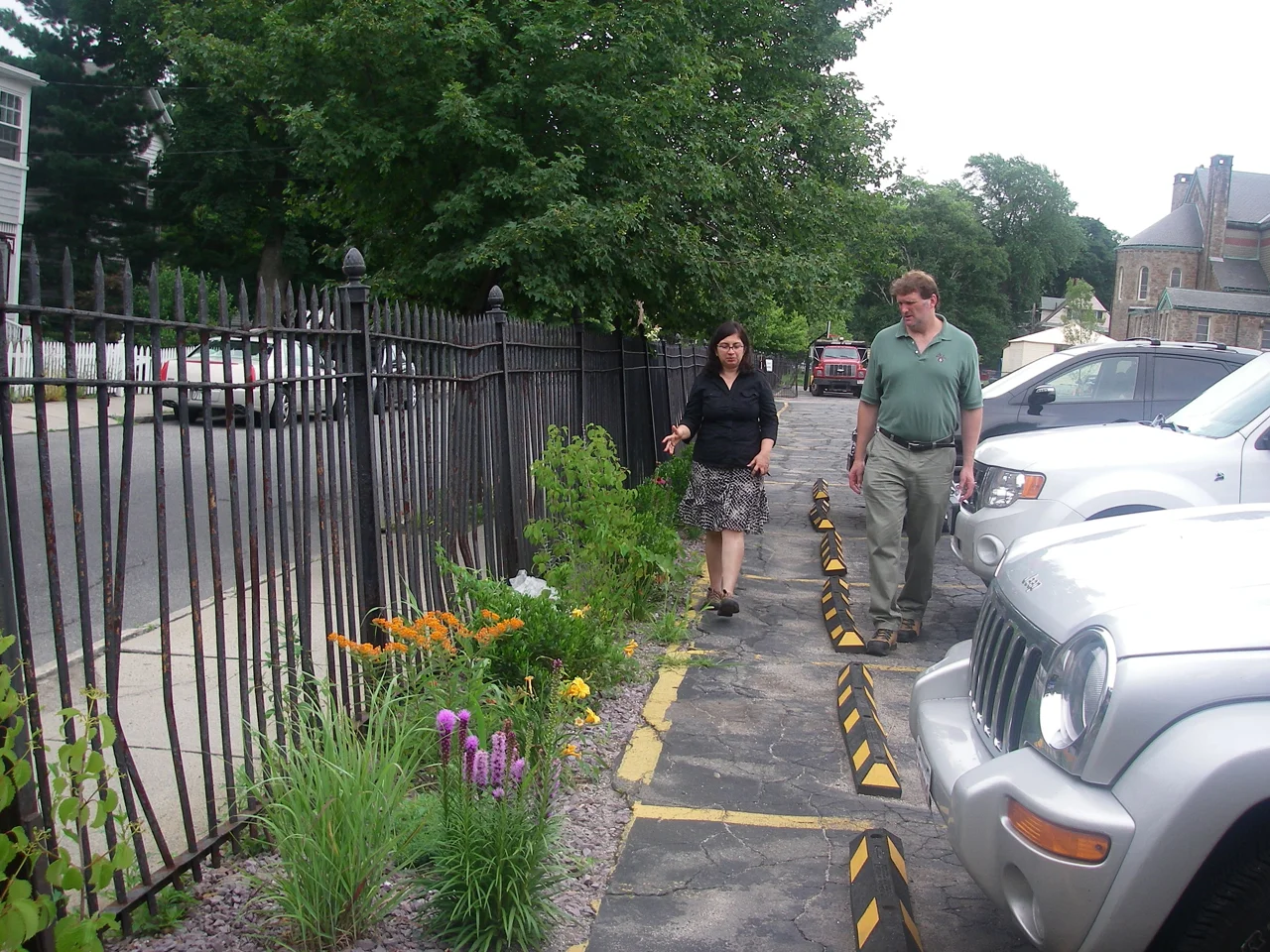
Everett Street Pilot - Rain Garden trench system treating runoff from parking lot

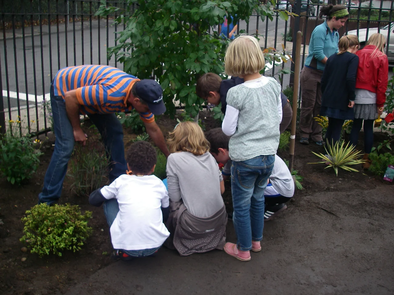
Everett Street Pilot - Planting by GISB Students

Everett Street Pilot - Green Infrastructure Tour

Peabody Square Green Street Pilot - Dorchester

Peabody Square Green Street Pilot - Porous Paver Plaza